2 April 2025
Today I needed sunscreen
Tai Mo Shan from Pineapple dam to Chuen Lung
I will get right to the point as there are a lot of pics.
Sun was out, the sky was polluted, I did a hike to the highest peak in Hong Kong, although you cannot get to the very top of the peak due to military stuff.
I had a google maps induced false start that will be explained below. The hike was long but not arduous. There were cows.
The stats, because why not-
38,200 steps, but many of them on roads (refer below)
21.84km, so a half marathon
1,385m vertical ascent
1,890 calories burned
6 hours and 8 minutes
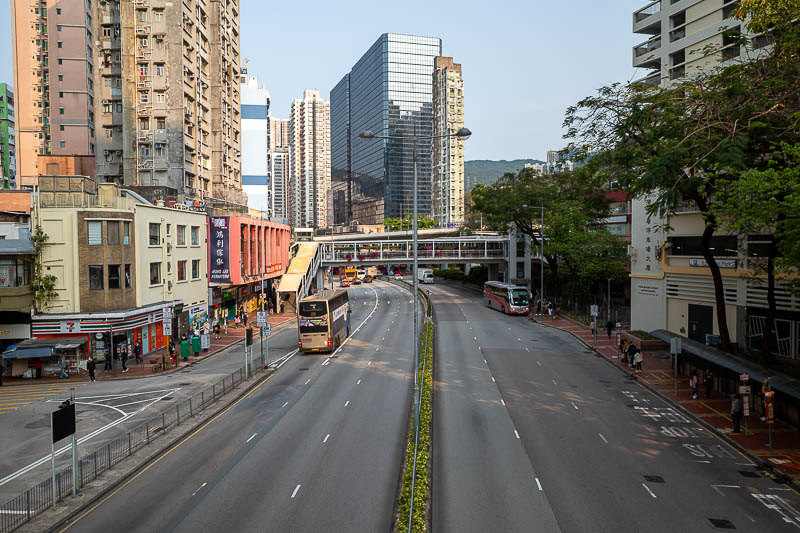
I had planned my journey as a bus was involved. This is Tsuen Wan station area, where I transferred to a very regular bus, which was the wrong bus.
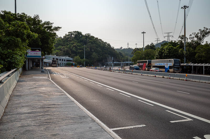
Here is where I got off the bus, on a highway, just before a long tunnel. Google maps suggested I could walk down to the road up into the mountain. I could not. A bus depot was between me and the road, there was a gate at the back of the bus depot. The bus security guard would not let me cross the car park and go through the gate. He did tell me how to cross under the highway, and which bus to catch back in the other direction, that would go back under the same highway and let me off about 50m from where I am now.
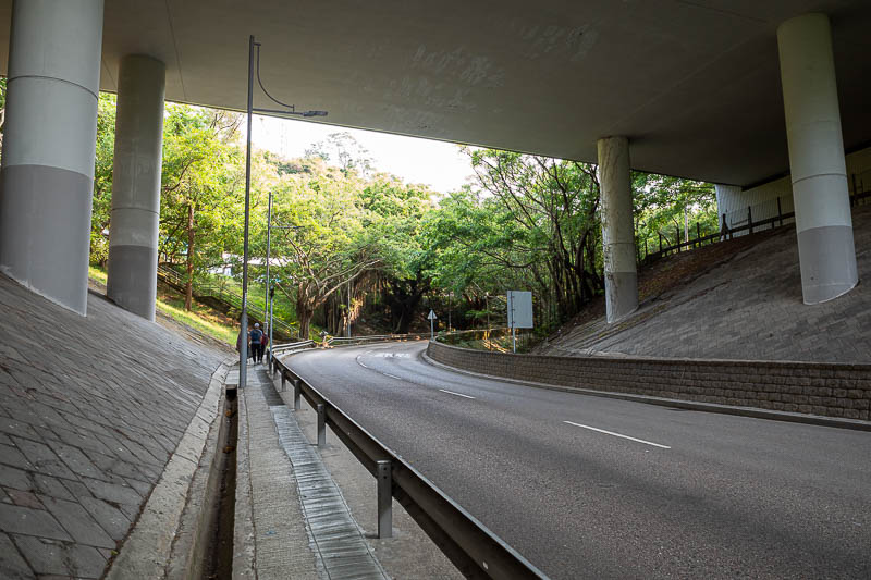
And so, here I am going under the bus stop I got off at earlier.
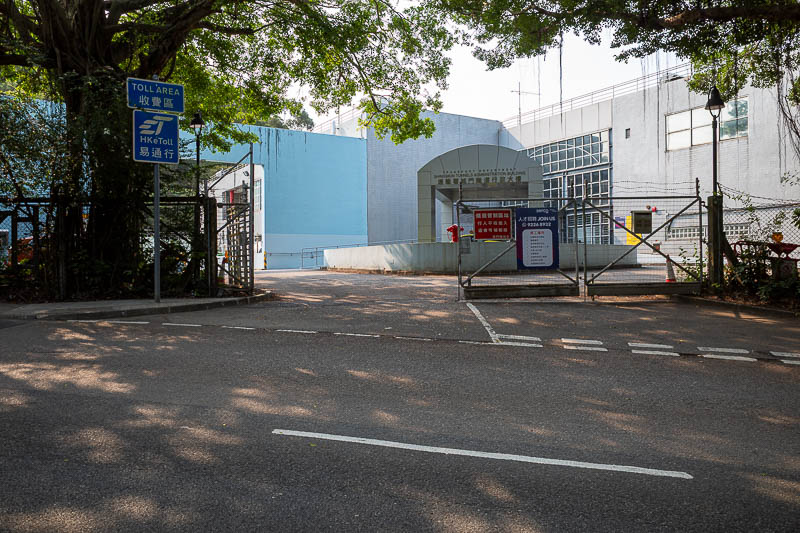
And here is the gate I was not allowed to go through. The bus stop on the highway is just the other side of that building. In hindsight I should have just run through past the guard.
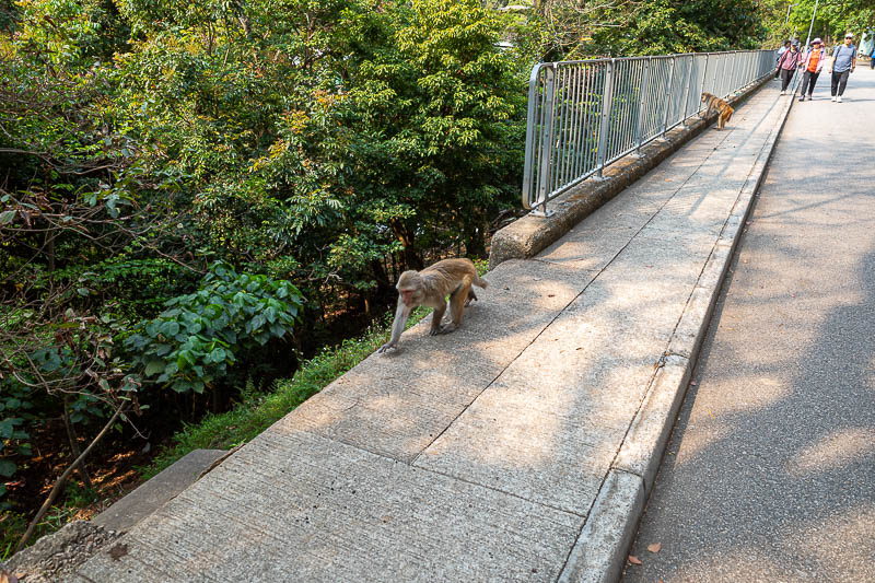
The path up to the dam where the hike officially starts from was full of many monkeys.
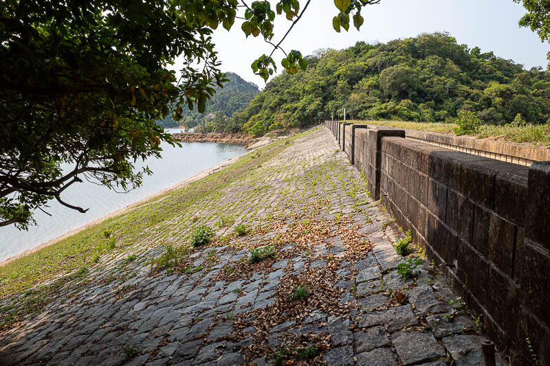
Dam number one of the day, the pineapple dam.
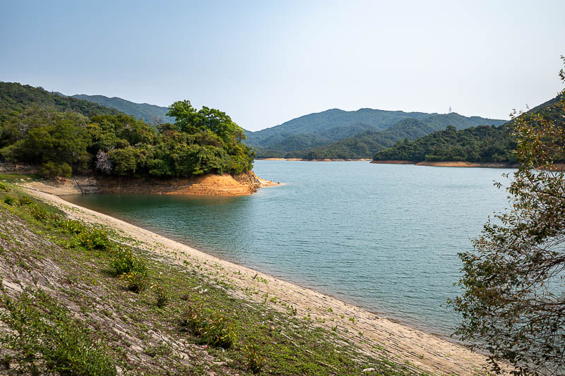
Here is the reservoir. Tricky light today due to the pollution that comes with sunny skies.
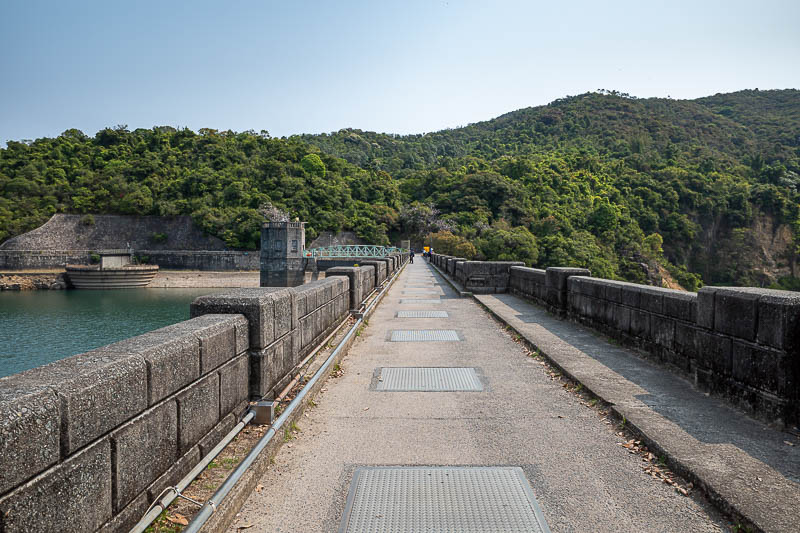
Time to cross dam number 2, I do not think it has a cool name like pineapple dam.
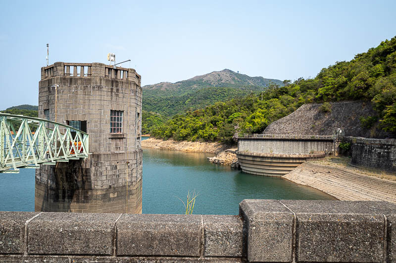
In the middle of this photo you can see the main mountain of the day. It does not look too far away, however I will take a very CIRCUITOUS route to get there. I like the word circuitous and will use it many times in the future.
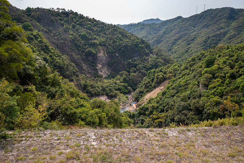
There appears to be zero water on the far side of the dam.
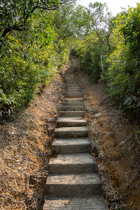
Much of today's hike will be concrete steps, or worse, stay tuned.
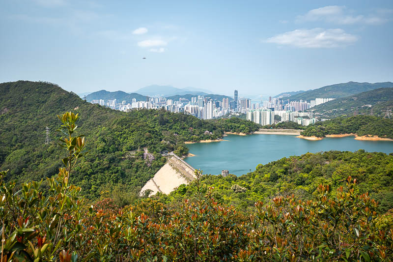
Already getting quite high, these will be the clearest photos of the city as the pollution will get worse during the day.
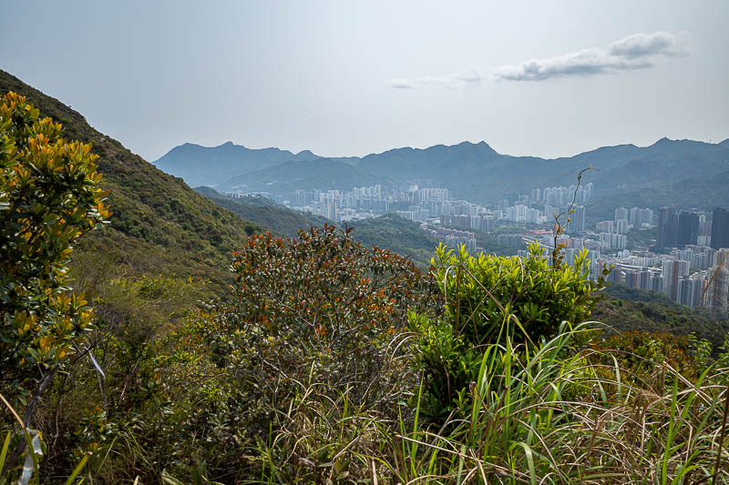
Perpetual pollution twilight.
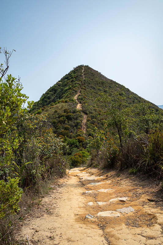
There is needle hill. It is steep to get up, and even steeper to get down the other side. My circuitous route meant a lot of up and down today, hence the high number of metres of vertical ascent.
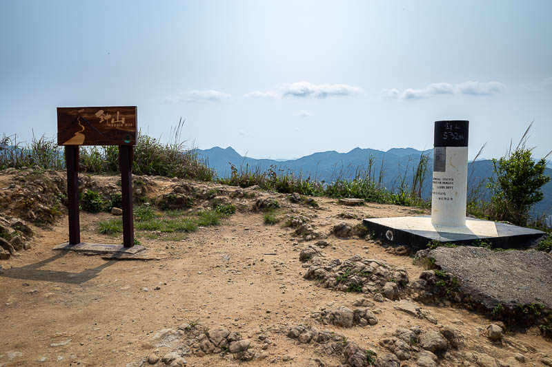
Top of needle hill.
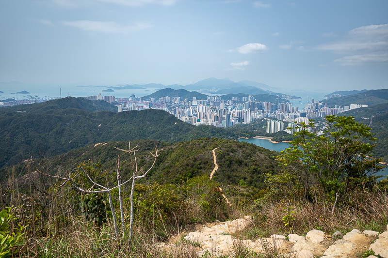
Maybe photo of the day, the pollution was still tolerable.
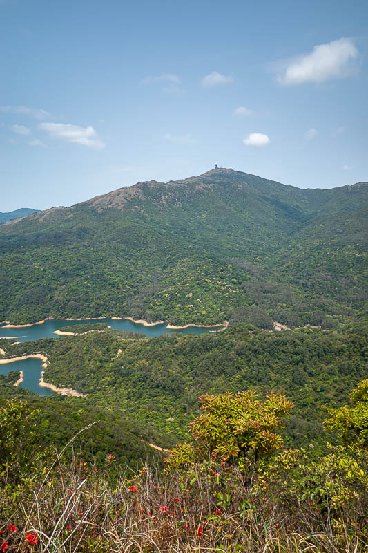
I am getting further away from my eventual summit!
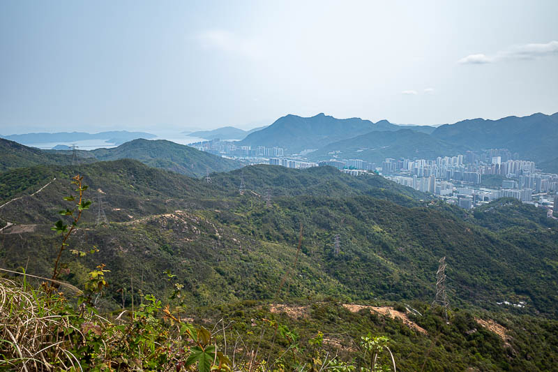
Those mountains are all part of Hong Kong, more on that later too.
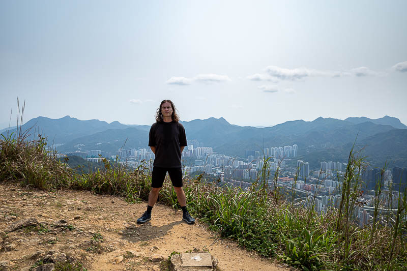
First stance of the trip! Should have added more leg spread.
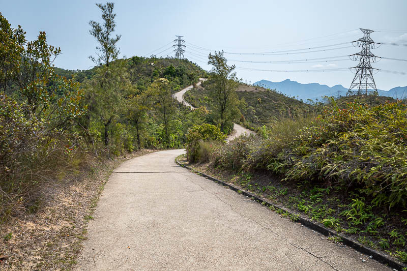
And then for a while, the 'trail' became a hiking trail, with Chinese characteristics.
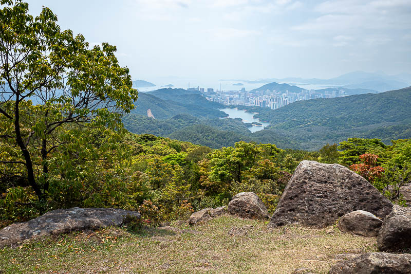
Getting further away from the city, that is not anywhere near the main parts of Hong Kong, that is Tsuen Wan which is on the very end of the red subway line.
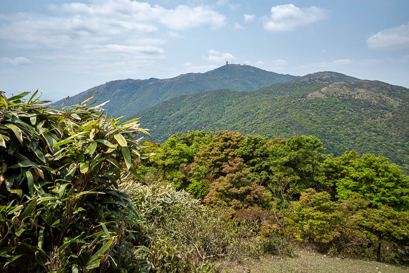
I am still a long way from the summit, and now I am going a long way down.
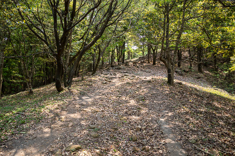
An actual real looking hiking trail, no concrete steps, no road.
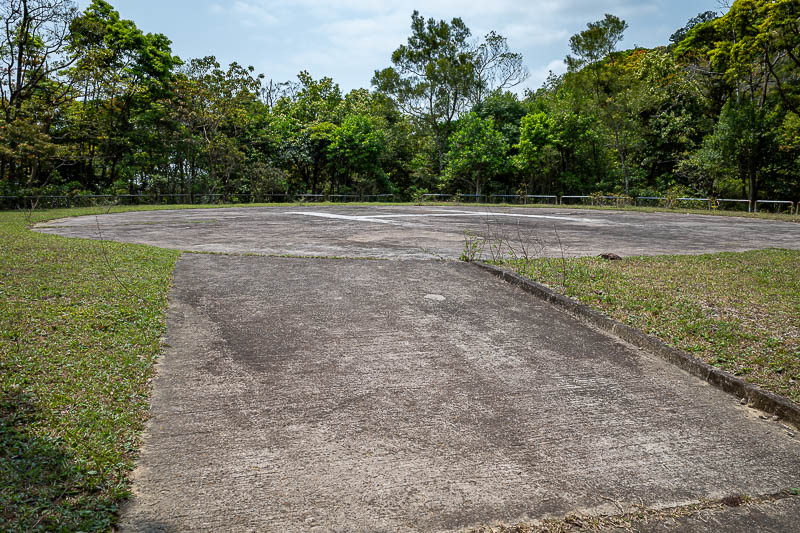
The helicopter landing area is at the lead mine camping area (the mine is long closed), a cross-ways of the the two main trails, the Maclehose and Wilson trails.
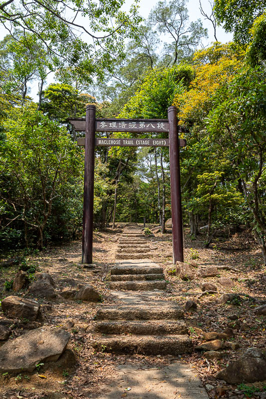
Time to start the ascent to the last summit, more concrete steps.
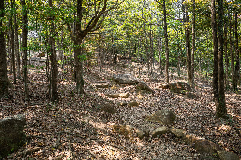
This part of the trail almost looks like Japan.
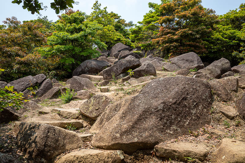
Unexpected rocks! Exciting.
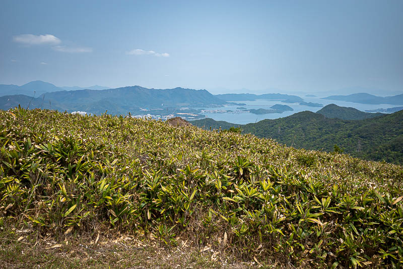
That is all still Hong Kong, there are lots of tiny little islands.
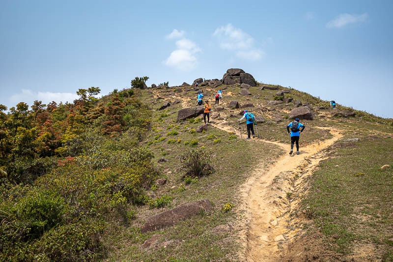
Other people! There were a few others today, but mainly at the start, and then once again when I was over the summit of Tai Mo Shan.
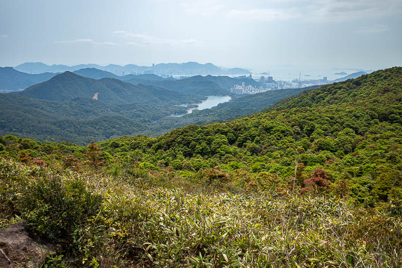
I am far away from Tsuen Wan.
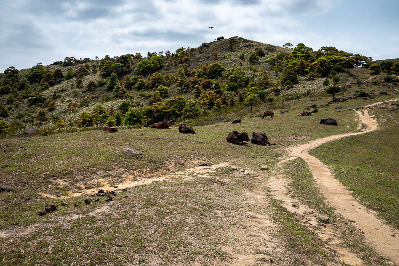
Cows! There are cows on this hike. They do not belong to anyone. They just laze about. I prefer them to bears. The path was quite nice along this stretch, just me and the cows.
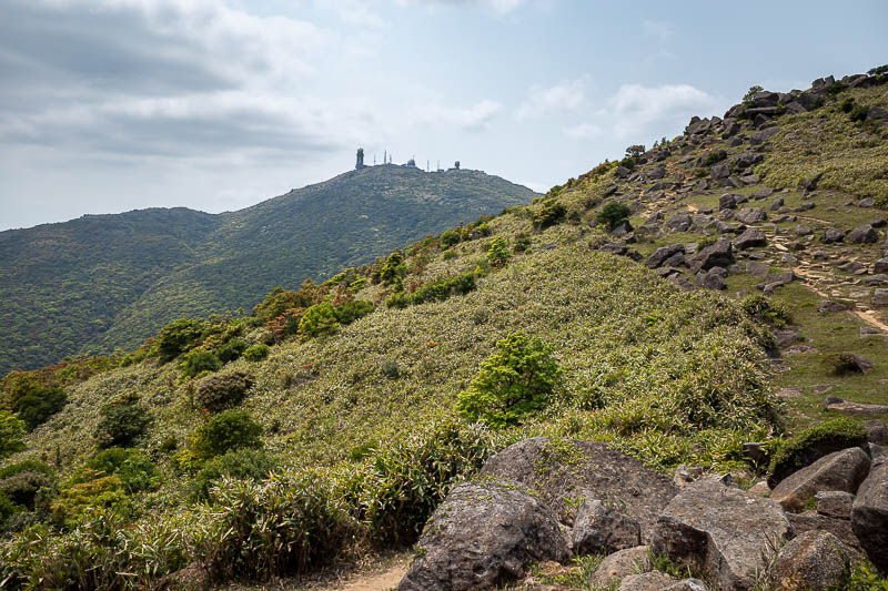
Getting closer.
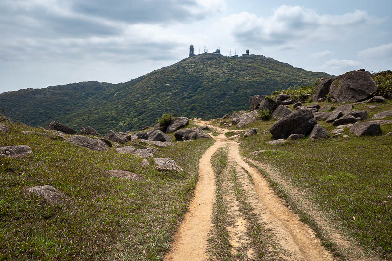
There is a lot of military stuff on the summit.
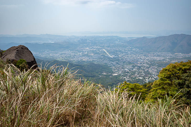
That is all still part of Hong Kong, without high rises. Note that the runway there is for a helicopter base. They used to land small planes there but not anymore. Of course I have landed a huge jet there on flight simulator, it did not go well.
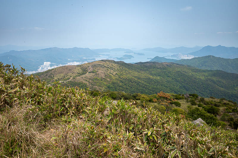
You can see some of the exposed circuitous path I had come along. A lot of the route was exposed, so I was glad I had applied sunscreen.
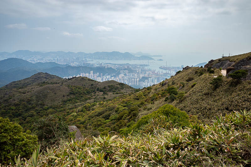
Getting more polluted.
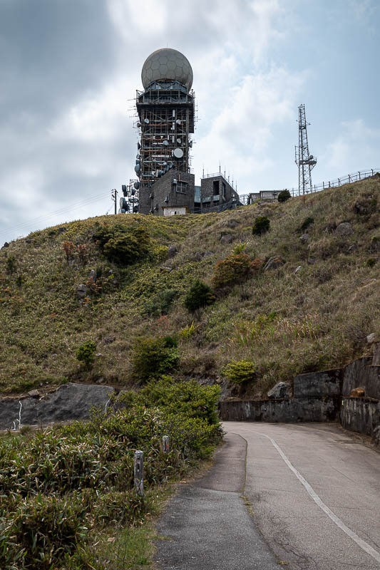
There is the summit. I cannot get to the summit. Usually they put a fake summit marker, but there was nothing. Nothing for the highest point in Hong Kong.
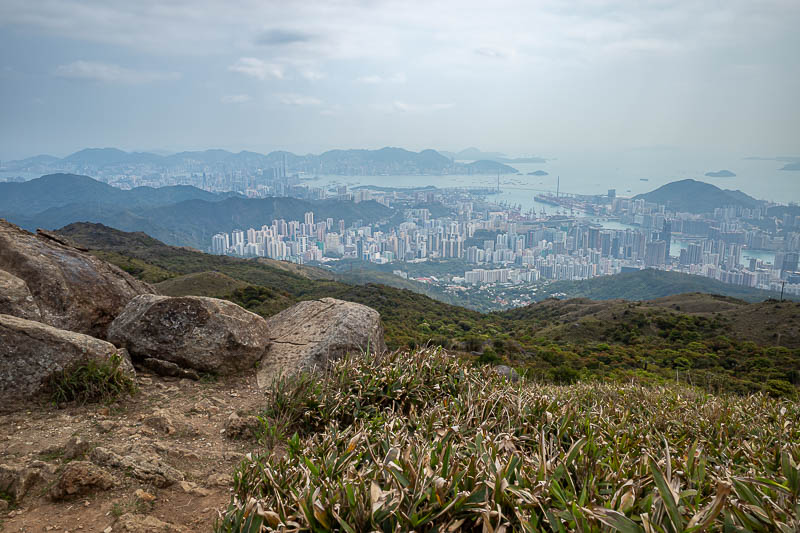
View from near the summit.
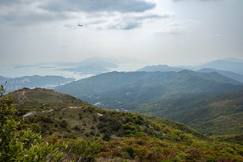
This is all still part of Hong Kong. All that greenery. Note that the planes descending into Hong Kong airport fly quite close to the summit of Tai Mo Shan, keeping me company every 30 seconds all day long.
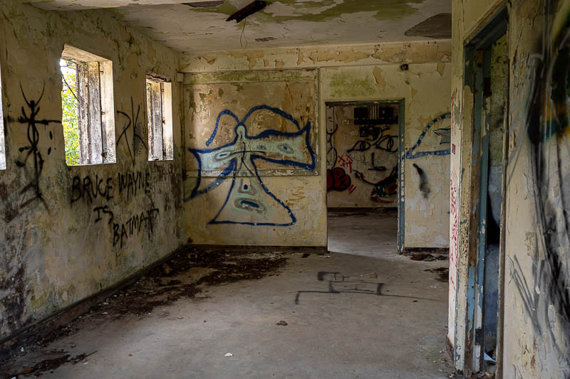
After the summit area I came past this abandoned concrete bunker of a house. The writing on the left says Bruce Wayne is Batman. So there you go, confirmation.
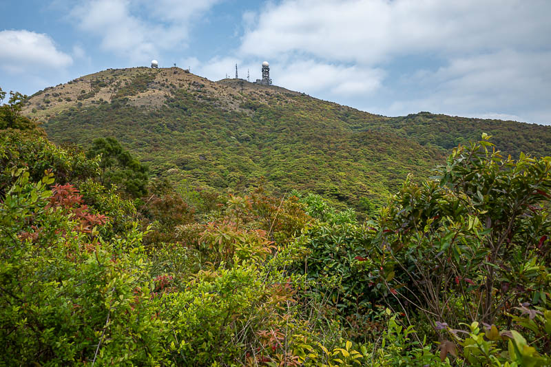
Looking back up to the closed off summit. It was quite tropical on the lower parts of the descent.
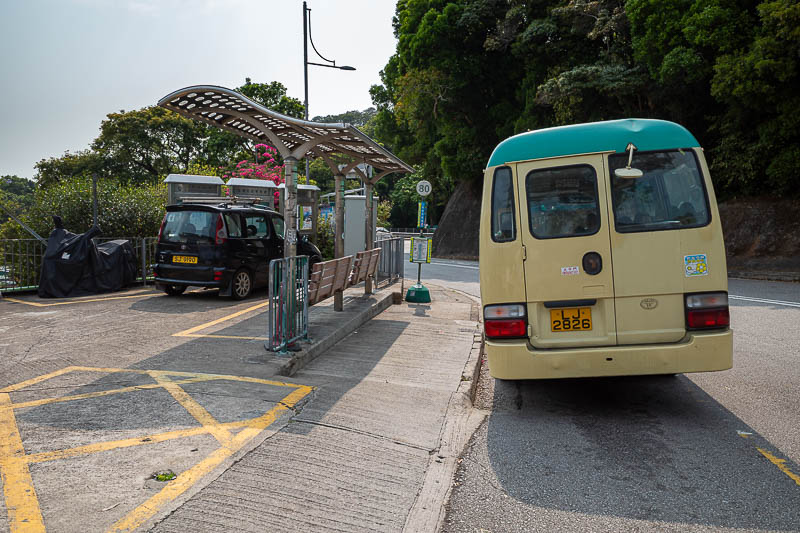
I had 2 bus choices, I chose the one that seemed to be more regular, but it added about an extra 1.5km of walking down a road at the end, I was very happy when I got to the stop and it was there waiting. But why is it on such a lean?
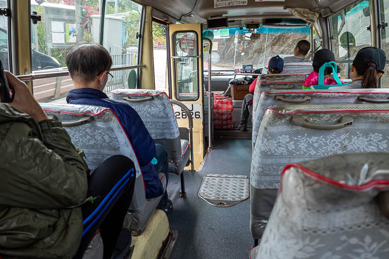
This is a public community bus. It will now take me down a mountain road with busted suspension, at tremendous speed. This is the most dangerous part of any hike I ever do.
So that is how you hike a really long way around to get near the top of the highest point in Hong Kong.